Arthur's Pike Sheep
View from Arthur's Pike
Walker's Arthurs Pike

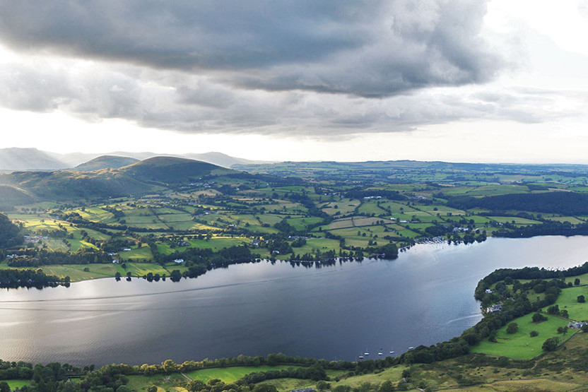
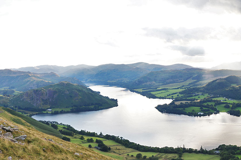
WALKING TO ARTHUR’S PIKE

A gently sloping 8.8km walk, with steeper sections crossing two streams, passing cairns and reaching an elevation of 309m. Arthur’s Pike is the highest point visible from Another Place and once ascended, the view sprawls below.

Walk overview

Total Distance: 8.8 km - Length: 2 hours

Difficulty:
Moderate

Directions:
Drive or catch the bus to the start point through Pooley Bridge approximately ten minutes away. 

Description:
A gentle incline along a well-marked track with occasional steep sections and two stream crossings.

What to bring:
Sturdy walking shoes or wellies, a waterproof coat, a drink, sun cream, hat, camera.

Look down

The breeze billows your shirt. Shapes form and reform on the lake surface. Your calves ache, not in a bad way.

Arthur’s Pike is positioned at the north end of the High Street range. There are good views of the fells and Ullswater. The route is a well marked track with steep sections and two stream crossings.